File:Suva.jpg
From WikiEducator
Size of this preview: 800 × 600 pixels. Other resolution: 1,024 × 768 pixels.
Original file (1,024 × 768 pixels, file size: 395 KB, MIME type: image/jpeg)
Summary
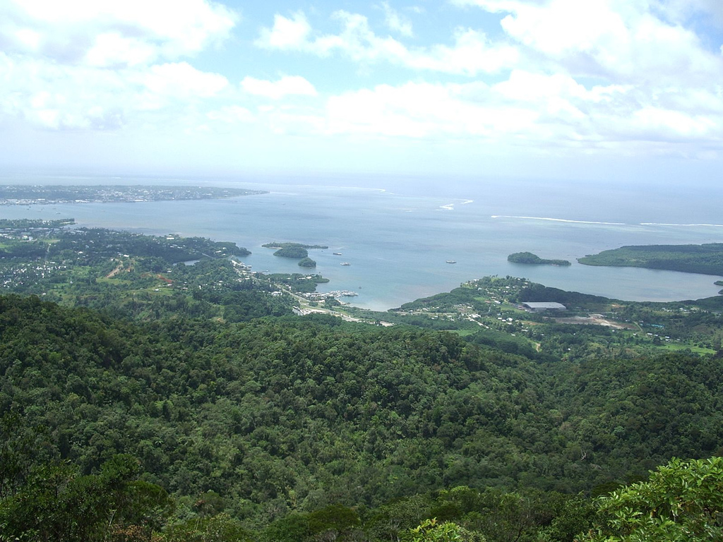
| Description | Suva harbour as seen from the highest peak in the area. |
| Date | |
| Source | Suva harbour |
| Author | Jared Wiltshire |
| Camera location | | View this and other nearby images on: OpenStreetMap |
|---|
Licensing
This file is licensed under the Creative Commons Attribution 2.0 Generic license.
- You are free:
- to share – to copy, distribute and transmit the work
- to remix – to adapt the work
- Under the following conditions:
- attribution – You must give appropriate credit, provide a link to the license, and indicate if changes were made. You may do so in any reasonable manner, but not in any way that suggests the licensor endorses you or your use.
| This image was originally posted to Flickr by jaredw_1986 at https://www.flickr.com/photos/40988322@N00/102993549. It was reviewed on 31 October 2009 by FlickreviewR and was confirmed to be licensed under the terms of the cc-by-2.0. |
File history
Click on a date/time to view the file as it appeared at that time.
| Date/Time | Thumbnail | Dimensions | User | Comment | |
|---|---|---|---|---|---|
| current | 11:49, 15 October 2009 | | 1,024 × 768 (395 KB) | Martin H. | Image from http://www.flickr.com/photos/jaredw_1986/102993549/ to replace the previous uploaded non-free image |
File usage
The following 2 pages link to this file: