File:Pukekohe east.jpg
From WikiEducator

Size of this preview: 800 × 600 pixels. Other resolution: 1,024 × 768 pixels.
Original file (1,024 × 768 pixels, file size: 217 KB, MIME type: image/jpeg)
Summary
| Description | |
| Date | |
| Source | Own work |
| Author | Mosborne01 |
| Camera location | | View this and other nearby images on: OpenStreetMap |
|---|
Licensing
| This file is made available under the Creative Commons CC0 1.0 Universal Public Domain Dedication. | |
| The person who associated a work with this deed has dedicated the work to the public domain by waiving all of their rights to the work worldwide under copyright law, including all related and neighboring rights, to the extent allowed by law. You can copy, modify, distribute and perform the work, even for commercial purposes, all without asking permission.
|
File history
Click on a date/time to view the file as it appeared at that time.
| Date/Time | Thumbnail | Dimensions | User | Comment | |
|---|---|---|---|---|---|
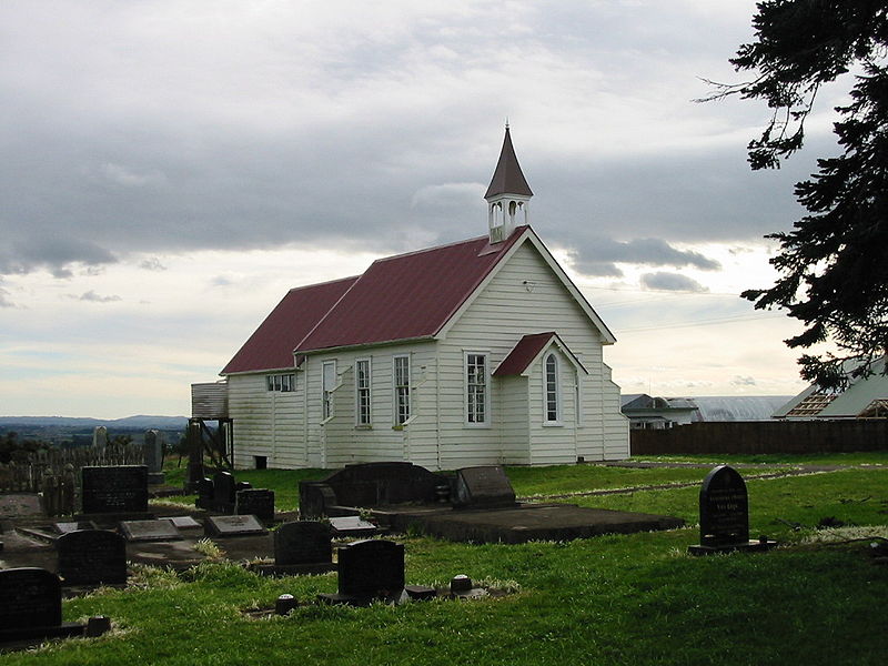
| current | 19:34, 28 October 2009 | | 1,024 × 768 (217 KB) | Mosborne01 | {{Information |Description={{en|1=Pukekohe East Church, site of a skirmish between Maori and British troops in 1863.}} |Source={{own}} |Author=Mosborne01 |Date= |Permission= |other_versions= }} Category:History [[Category:New Zeal |
File usage
The following page links to this file: