File:Cowichan.png
From WikiEducator

Size of this preview: 800 × 527 pixels. Other resolution: 1,814 × 1,196 pixels.
Original file (1,814 × 1,196 pixels, file size: 4.14 MB, MIME type: image/png)
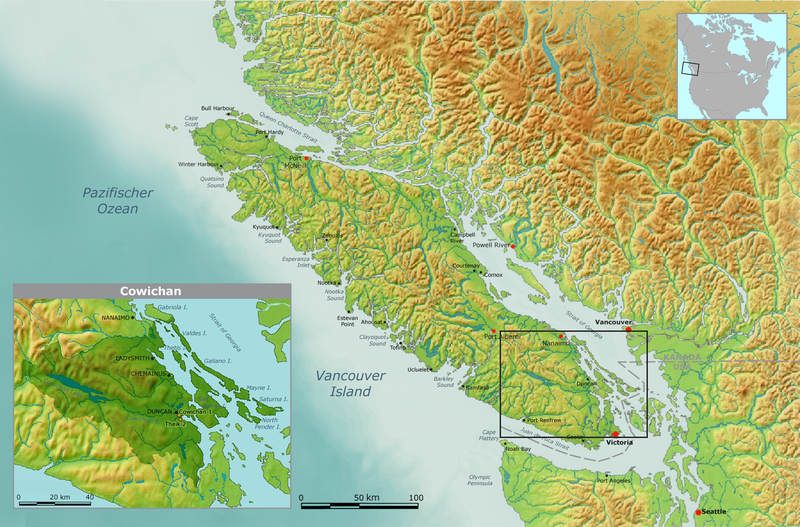
| Description | Map of traditional Cowichan tribal territory. | ||||
| Date | |||||
| Source | Own work by Nikater, submitted to the public domain. Background map courtesy of Demis, www.demis.nl | ||||
| Author | User:Nikater | ||||
| Permission (Reusing this file) |
|
File history
Click on a date/time to view the file as it appeared at that time.
| Date/Time | Thumbnail | Dimensions | User | Comment | |
|---|---|---|---|---|---|
| current | 00:17, 3 April 2011 | | 1,814 × 1,196 (4.14 MB) | Nikater | Text lesbarer |
File usage
The following page links to this file: