File:Asia-Pacific map.png
From WikiEducator

Size of this preview: 800 × 351 pixels. Other resolution: 1,425 × 625 pixels.
Original file (1,425 × 625 pixels, file size: 99 KB, MIME type: image/png)
Summary
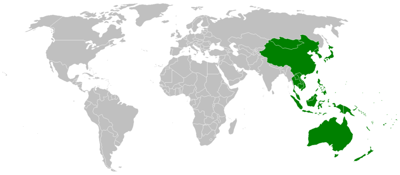
| Description | Map showing countries within the Asia-Pacific region. The definition of the region is fairly ambiguous. |
| Date | |
| Source | Image:BlankMap-World.png |
| Author | John Shadbolt |
Licensing
| I, the copyright holder of this work, release this work into the public domain. This applies worldwide. In some countries this may not be legally possible; if so: I grant anyone the right to use this work for any purpose, without any conditions, unless such conditions are required by law. |
File history
Click on a date/time to view the file as it appeared at that time.
| Date/Time | Thumbnail | Dimensions | User | Comment | |
|---|---|---|---|---|---|
| current | 15:49, 13 February 2007 | | 1,425 × 625 (99 KB) | JohnnoShadbolt | {{Information |Description=Map showing countries within the en:Asia-Pacific region. The definition of the region is fairly ambiguous. |Source=Image:BlankMap-World.png |Date=13th February, 2007 |Author=[[:en:User:John |
File usage
The following page links to this file: